Hiking
From a flat creekside path to steep ridge climbs and a guided hike to the lighthouse.
Buy this print
- Easiest
- Bob Jones Trail, about 5 miles round trip and nearly flat
- Best views
- Ontario Ridge loop from Cave Landing, 2.8 miles
- Guided only
- Pecho Coast Trail to the lighthouse, reservation required
- Cost
- Free for all the hikes on this page
Avila sits between two ridges: Ontario Hill to the east and the Irish Hills to the west. That gives you a lot of choice for a small town. You can stroll a flat creek path, climb a ridge for a view down the coast, or join a guided hike out to the lighthouse.
Bob Jones Trail (easy)
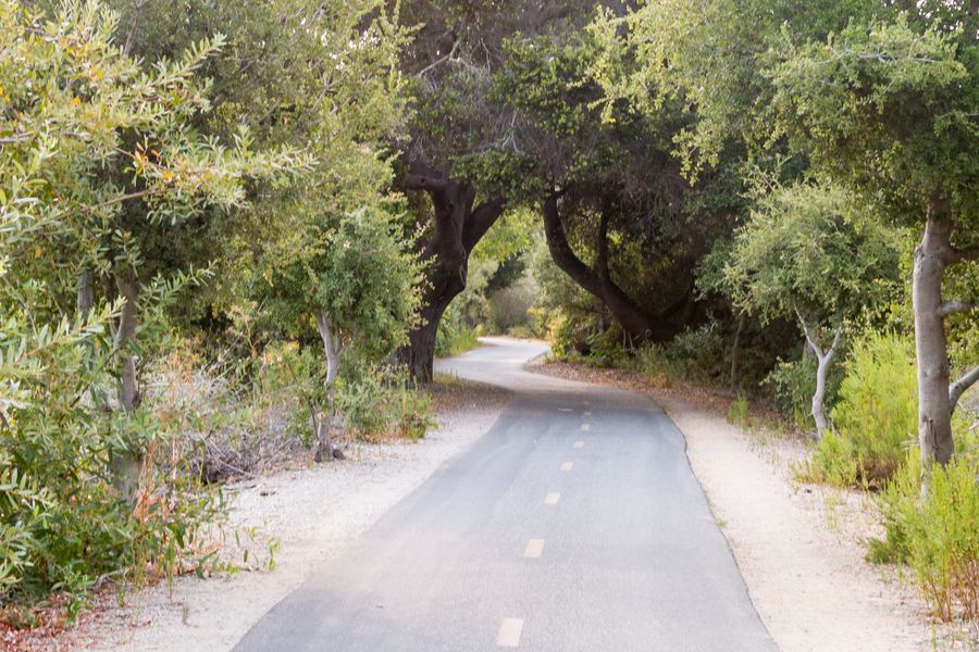
About 5 miles round trip with almost no climbing. It starts across from the park-and-ride lot at 7001 Ontario Road and ends at the edge of downtown Avila. Mostly paved and shaded. Good for kids, strollers and leashed dogs. Full details on our Bob Jones Trail page.
Pirate's Cove and Cave Landing (short)
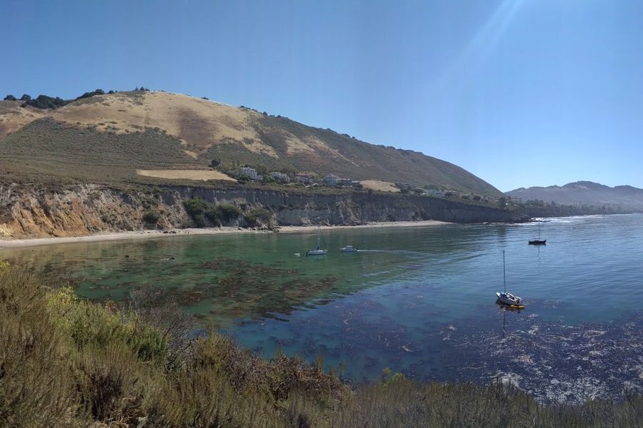
About half a mile round trip with roughly 100 feet of climbing. Park at the dirt lot at the end of Cave Landing Road, off Avila Beach Drive. The path leads out to the bluff and a natural rock tunnel with views over the bay. The beach below is clothing-optional. See our Pirate's Cove page.
Sycamore Crest Trail (short and steep)
About 1.75 miles round trip with 575 feet of climbing. It starts at Sycamore Mineral Springs, 1215 Avila Beach Drive, on the road to the right of the Gardens of Avila restaurant. It climbs a service road through oaks and manzanita to a saddle on Ontario Ridge with ocean views. Leashed dogs are welcome.
Parking at the resort is for guests, and hikers who park there have been towed. Park at the Bob Jones Trail lot or on Bay Laurel Place near Woodstone Marketplace and walk in instead. That adds about half a mile each way.
Shell Beach Bluff and Ontario Ridge loop (moderate to hard)
A 2.8-mile loop with about 675 feet of climbing. Start at Cave Landing, follow the paved Shell Beach Bluff Trail east, then climb Ontario Ridge to its 735-foot summit and drop steeply back down to Cave Landing. The bluff section alone is flat and paved, and works for wheelchairs and strollers if you start at Bluff Drive in Shell Beach.
The ridge section is steep and rough. There has been an access dispute on part of the ridge in the past, so check recent trail reports before you go.
Pecho Coast Trail (guided only)
PG&E opens this trail on Diablo Canyon land only for free docent-led hikes. The hike to Point San Luis Lighthouse is 3.75 miles round trip. Hikes run Wednesdays and Saturdays, starting at 8:45 a.m. at the Fisherman's Memorial at Port San Luis. Reservations are required at PG&E's trails page. No pets. Grades reach 45% in places, so wear sturdy shoes.
PG&E also runs a longer 8-mile hike to Rattlesnake Canyon on the first Monday of the month. More on the lighthouse visit on our Point San Luis Lighthouse page.
Before you go
- Carry water. The Bob Jones trailhead has vault toilets and the lighthouse has restrooms and water, but plan on bringing your own.
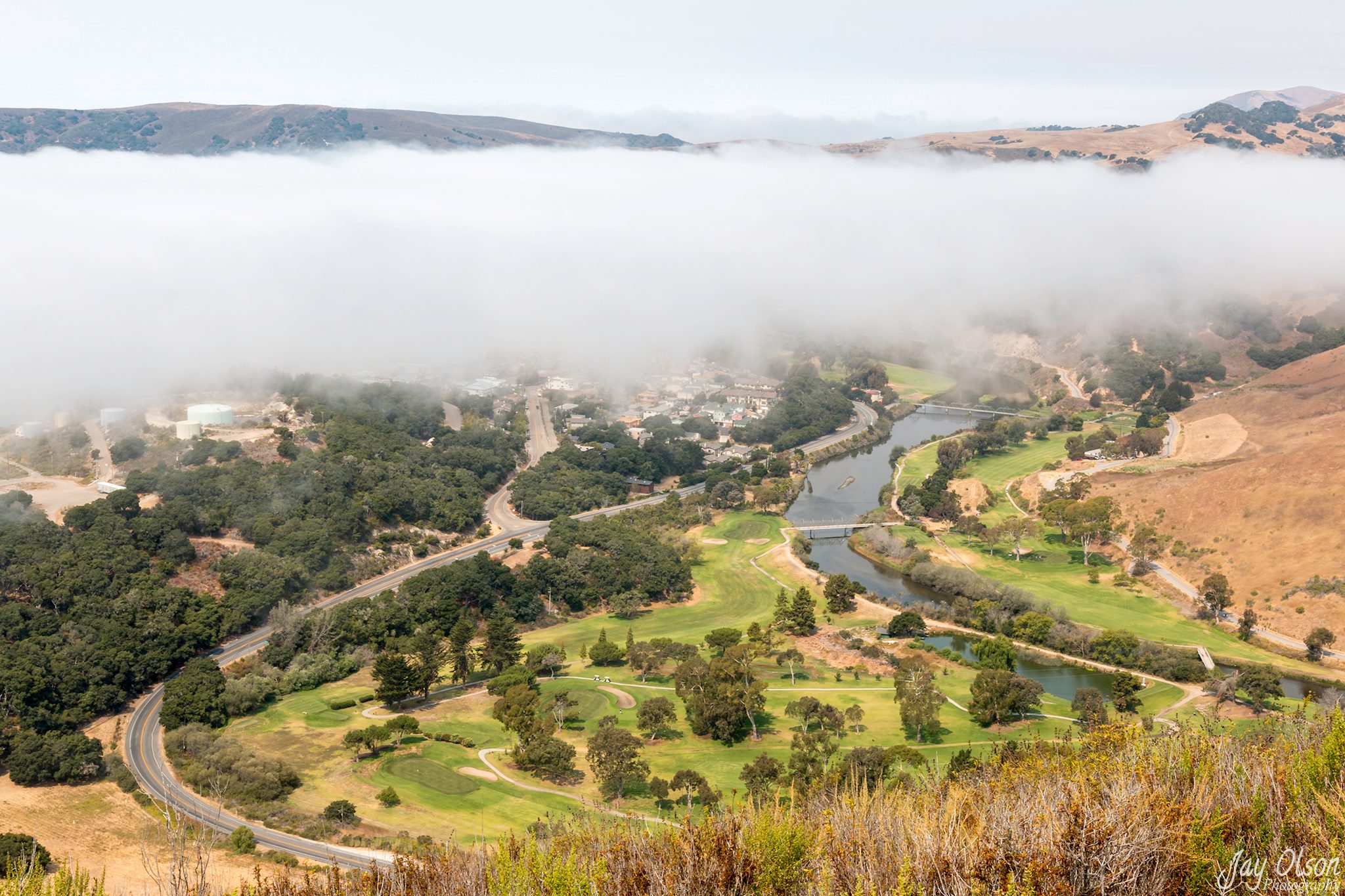
- Check the weather and conditions. Fog can hide the views on the ridges until midday.
- Pack out your trash.
Local tips
- Hike in the morning: the fog often keeps the ridges cool, and afternoon wind picks up on the exposed trails.
- The steep descent to Cave Landing is sandy and loose, so wear shoes with real tread.
- Watch for poison oak and ticks on the ridge and Pecho Coast trails, and check your legs after.
- Book the Pecho Coast hike about two weeks ahead; Wednesday hikes fill fast.
Frequently asked questions
What is the easiest hike in Avila Beach?
The Bob Jones Trail. It's mostly paved and nearly flat, about 2.5 miles each way.
Can you hike to the Point San Luis Lighthouse?
Only on a free docent-led hike on the Pecho Coast Trail. Reserve through PG&E. The trail is closed to the public otherwise.
Are dogs allowed on Avila hiking trails?
Leashed dogs are welcome on the Bob Jones Trail and Sycamore Crest Trail. Dogs are not allowed on the PG&E Pecho Coast Trail.
Where is the Ontario Ridge trailhead?
Most people start at the dirt lot at the end of Cave Landing Road, which has more parking than the Shell Beach end.