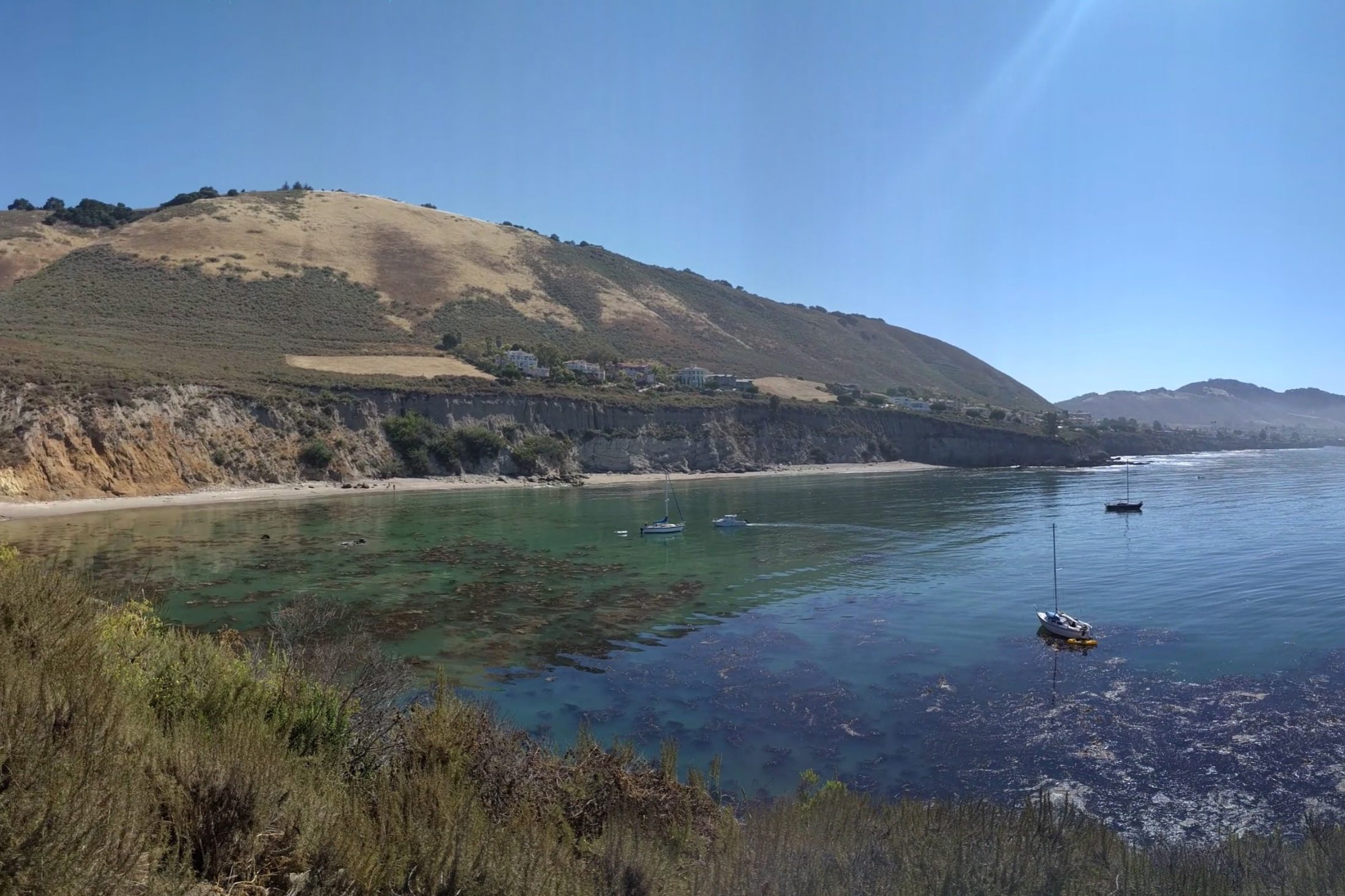
Pirate's Cove
A secluded cove east of town, reached by a short walk from the bluff above.
Buy this print
- Where
- End of Cave Landing Road, off Avila Beach Drive
- Cost
- Free; free dirt parking lot
- Trail
- About half a mile round trip, short but steep
- Facilities
- None
- Clothing
- Clothing-optional beach
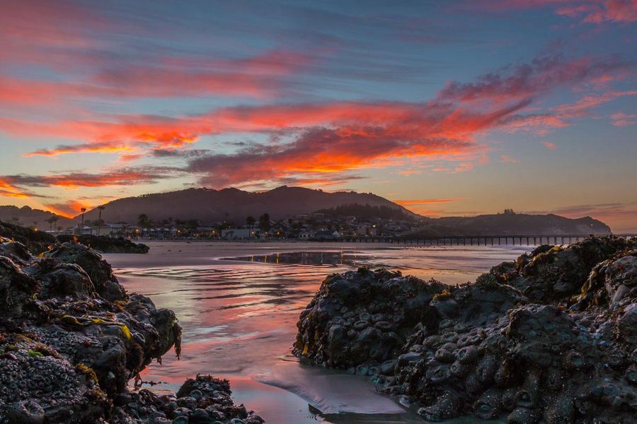
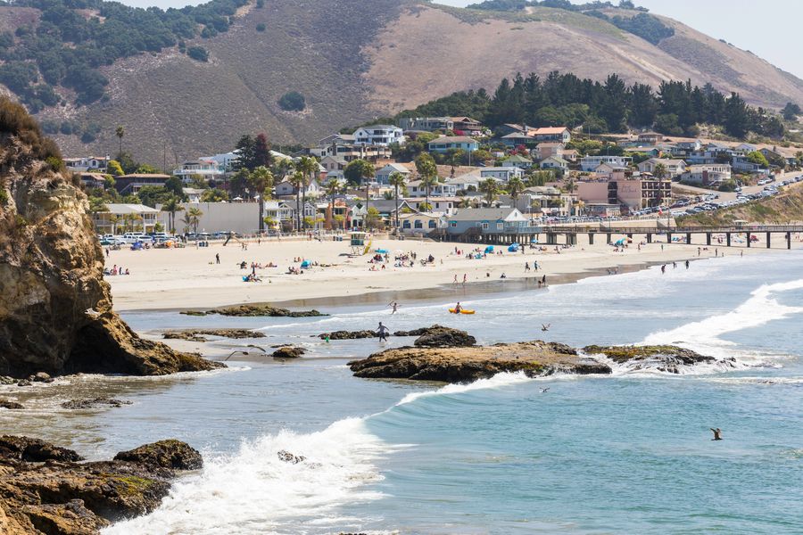
Pirate's Cove is a south-facing beach under the cliffs between Avila Beach and Shell Beach. Above it, on the headland called Cave Landing, a short trail leads to a sea cave you can walk through to a viewpoint over San Luis Bay. The cove is somewhat sheltered from the weather, and the rocks around it have tide pools, rock formations and caves.
The name goes back to the days of liquor smuggling, when ships bound for Port San Luis brought it ashore here. Long before that, the area was used by the Chumash, and San Luis Obispo County notes there are sensitive archaeological resources and a Native American sacred site on the land. Treat it with respect.
Clothing note: Pirate's Cove is a clothing-optional beach. You may see people sunbathing nude on the sand.
Getting there and parking
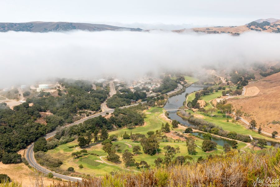
From Highway 101, take Avila Beach Drive west toward town. Before you reach downtown, across from the golf course, turn left (south) onto Cave Landing Road. Drive about half a mile to the large dirt parking lot at the end.
Parking is free. San Luis Obispo County has described the lot as unpaved, rutted and eroded, and often crowded in summer, so drive slowly and expect to wait for a spot on a sunny weekend. See our parking guide and maps.
The trail
The walk is about half a mile round trip with roughly 100 feet of elevation change.
- From the lot, take the single-track path heading south along the rocky point.
- At a junction with a metal sign, go right for the cave or left for the beach.
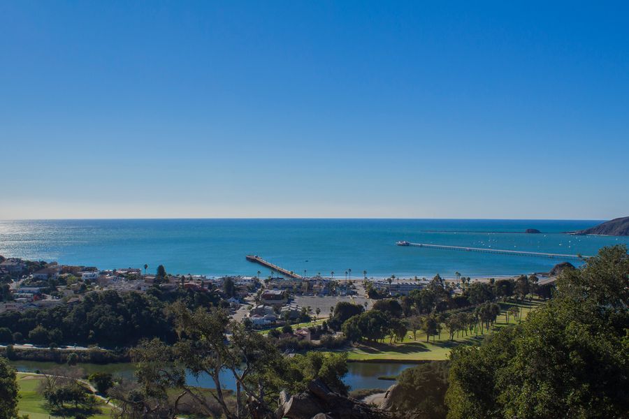
- The cave is a natural tunnel about 20 feet long. It opens onto a ledge above a sheer drop, with views west over the bay and Whaler's Rock.
- The path down to the cove is short but steep. Take it slowly.
For a longer outing, the Shell Beach Bluff Trail runs east from the lot along the hillside to Indio Drive in Shell Beach, as part of the California Coastal Trail. The Ontario Ridge Trail climbs the ridge above. Hikespeak describes a 2.8-mile loop that links the two. See our Hiking page for more trails.
Safety
- Cliffs: People have been hurt falling from the bluffs here. The county has reported numerous injuries and medical calls at the site. Stay on the trails and away from the edges, especially at the cave balcony.
- Surf: Visitors report the surf can be rough at times. No lifeguards are listed for the cove.
- Glass and litter: Watch your step. Broken glass and graffiti are an ongoing problem.
- No facilities: There are no restrooms, water or trash cans. Pack it in, pack it out.
Getting there by water
You can also reach the cove by kayak or paddleboard from Avila Beach, paddling south along the shore. It's a good way to see the rocks and caves that you can't reach on foot. Check wind and swell on our Weather & Conditions page first, and see Kayak & Paddleboard for rentals.
Local tips
- Wear shoes with grip; the path down to the sand is steep.
- Stay well back from the cliff edges at the cave viewpoint and along the bluff.
- Bring water and pack out your trash, since there are no facilities.
- Visit at low tide if you want to look at the tide pools along the rocks.
- Combine it with the Shell Beach Bluff Trail for a longer walk.
Frequently asked questions
Is Pirate's Cove a nude beach?
Yes, the beach is known as clothing-optional, so you may see nude sunbathers. Keep that in mind if you're bringing kids.
How do you get to Pirate's Cove?
Turn off Avila Beach Drive onto Cave Landing Road, drive about half a mile to the dirt lot at the end, then walk the short, steep trail down.
Is parking free at Pirate's Cove?
Yes. The lot at the end of Cave Landing Road is a free, unpaved lot. It can be rutted and crowded in summer.
Are dogs allowed at Pirate's Cove?
Dogs are allowed on a leash. Clean up after them, as there are no trash facilities.
Where is the cave at Pirate's Cove?
Take the right fork at the signed junction on the trail. It leads through a short rock tunnel to a viewpoint over the bay.