Maps
One road along the water ties Avila together. Here's how it's laid out, with map links for the places you'll want to find.
Buy this print
- Main road
- Avila Beach Drive, from US 101 to Port San Luis
- Town to Harford Pier
- About 1.5 miles west along Avila Beach Drive
- Trail access
- Bob Jones Trail from the Ontario Road staging area
- Printable maps
- Avila Beach Loop Map (Highway 1 Discovery Route) and the RTA trolley map
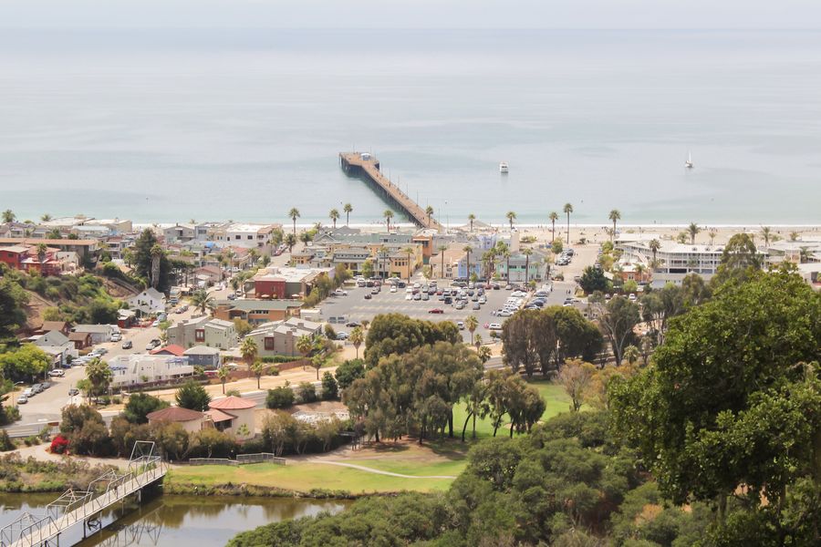
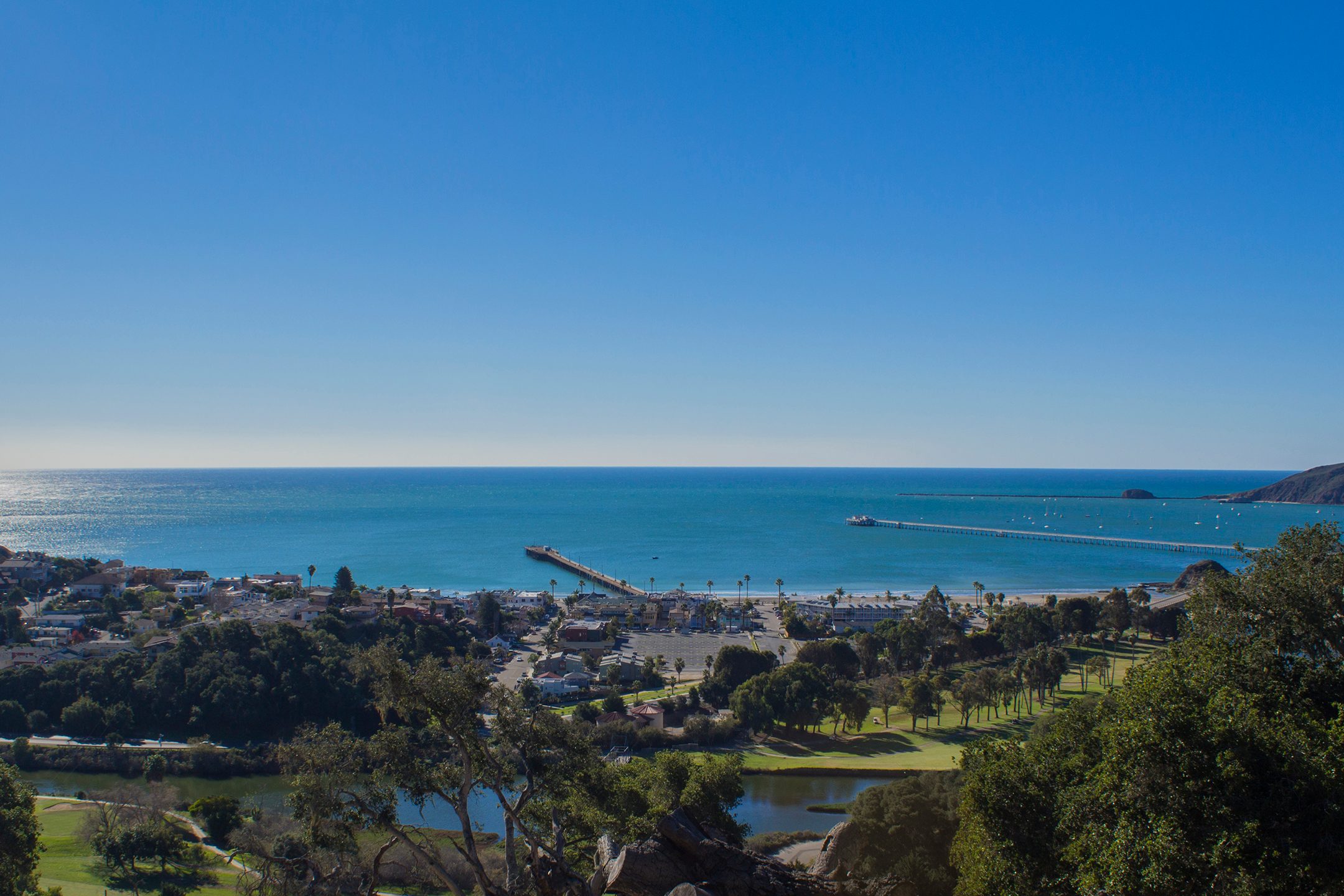
Avila is easy to picture once you know the shape of it. A single road, Avila Beach Drive, leaves US 101 and follows San Luis Obispo Creek and then the shoreline west to the harbor. Almost everything a visitor needs is on that road or a few blocks off it.
How the area is laid out
From east to west, starting at the freeway:
- US 101 and Avila Valley. Exit at Avila Beach Drive, where a new roundabout also connects to Shell Beach Road. Avila Valley, between the freeway and town, has Avila Valley Barn and the hot springs along Avila Beach Drive. The Bob Jones Trail starts on Ontario Road, and See Canyon Road leads to the apple farms.
- Cave Landing Road. A turn to the south leads up to the bluffs and the dirt lot above Pirate's Cove.
- The golf course and town. Avila Beach Drive passes the golf course and reaches downtown at 1st Street. Front Street runs along the main beach and promenade, with the mostly closed Avila Beach Pier in the middle.
- The shoreline drive. West of town, the road hugs the water past Olde Port Beach, the Cal Poly Pier (a research pier closed to the public) and Fisherman's Beach.
- Port San Luis. About 1.5 miles past town, the road ends at the harbor and Harford Pier. Point San Luis Lighthouse is out on the point beyond the harbor, reached by guided hike or tour.
Map links for the main spots
These open in Google Maps:
- Avila Beach and the promenade
- Harford Pier, Port San Luis
- Olde Port Beach
- Fisherman's Beach
- Pirate's Cove parking, Cave Landing Road
- Bob Jones Trail, Ontario Road staging area
- Point San Luis Lighthouse
- San Luis Obispo County Regional Airport
- Amtrak San Luis Obispo station
Parking map
There's no official parking map for the whole area, so here's the short version. Free street parking fills the grid of streets behind Front Street. The paid lot is in the middle of town with its entrance on 1st Street. Long stretches of free roadside parking line Avila Beach Drive by the golf course and west of town. Port San Luis has Harford Landing, the big lot at the base of the pier, plus a few paid spaces on the pier itself. Our parking guide has the details and rates.
Printable and official maps
- Avila-Pismo Beach Trolley map. SLO Regional Transit Authority posts the route and timetable on its trolley page. The trolley runs in summer only.
- Bob Jones Trail. SLO County Parks has information about the trail and its planned extension toward San Luis Obispo on its Bob Jones Pathway page.
- Tide station. For tides, use NOAA's Port San Luis station, or check the conditions at the top of our Weather & Conditions page.
Getting here
If you're still working out the drive, flight or train, start with getting here and getting around.
Local tips
- Save the map links below to your phone before you leave home, so they're one tap away at the beach.
- Pin your parking spot: town streets all look alike when you walk back after sunset.
- For tide pools, pair the map with the tide table on our Weather & Conditions page.
Frequently asked questions
Is there a map of Avila Beach?
Yes. The Highway 1 Discovery Route offers a free downloadable Avila Beach Loop Map, and SLO Regional Transit Authority publishes a map of the summer trolley route. This page also links each main spot to Google Maps.
How far is Harford Pier from downtown Avila Beach?
About 1.5 miles west of town along Avila Beach Drive, where the road ends at Port San Luis.
Where does the Bob Jones Trail start?
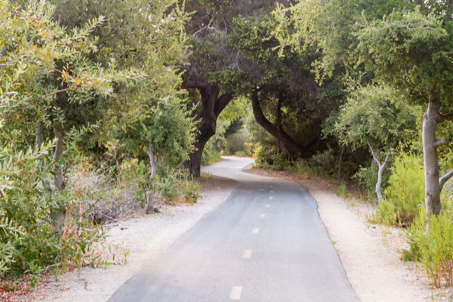
The usual starting point is the county's Ontario Road staging area in Avila Valley. The paved trail runs from there down San Luis Obispo Creek to Avila Beach.