History of Avila Beach
A Chumash shoreline, a Mexican rancho, a busy steamship port, an oil terminal, and a town dug up and rebuilt around 2000.
Buy this print
- Named for
- Miguel Ávila, granted Rancho San Miguelito in 1842
- Port Harford wharf
- Built by John Harford in the early 1870s
- Point San Luis Lighthouse
- Built 1890
- Avila Beach Pier
- Built 1907-1908 by the county; mostly closed for repairs
- Oil cleanup
- Excavation began late 1998; the town came back in 2000
Much of Avila Beach is new. Underneath the promenade is a long history of shipping, railroads and oil, and one of the biggest environmental cleanups in California.
The Chumash and the rancho
Long before the port, this shoreline was home to the Northern Chumash. The first European contact here is believed to date to 1595, when the Spanish navigator Sebastián Rodríguez Cermeño met people living along the coast.
In 1842, the Mexican governor of Alta California granted Rancho San Miguelito to Miguel Ávila. The town that grew up on the bay took his name.
Port Harford and the railroad
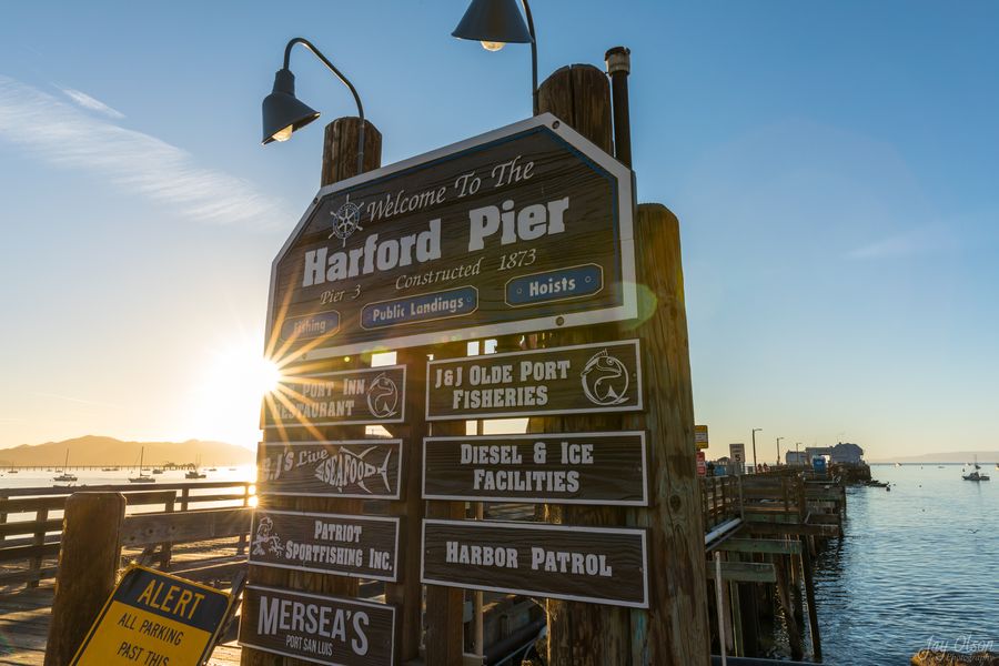
With mountains behind San Luis Obispo, San Luis Bay became the county's port. In the early 1870s, John Harford built a long wharf at the west end of the bay. The Port Harford historical marker, placed in 2011 by E Clampus Vitus, says the 1873 wharf ran 2,000 feet into the bay and linked steamships with the rail line at Avila.
That rail line started as a horse-drawn tramway in 1873. In 1875 it became the narrow-gauge San Luis Obispo and Santa Maria Valley Railroad, running about 10 miles from San Luis Obispo to Avila and Port Harford. It reached Arroyo Grande in 1881 and Santa Maria in 1882, and was reorganized that year as the Pacific Coast Railway. It stopped running in the early 1940s. Its old grade west of town became part of Avila Beach Drive.
The lighthouse, the breakwater and a new pier
Rocky reefs at the harbor entrance and thick fog made the bay dangerous. Congress set aside $50,000 in 1887, and Point San Luis Lighthouse was built in 1890. The Port San Luis breakwater was finished by 1913.
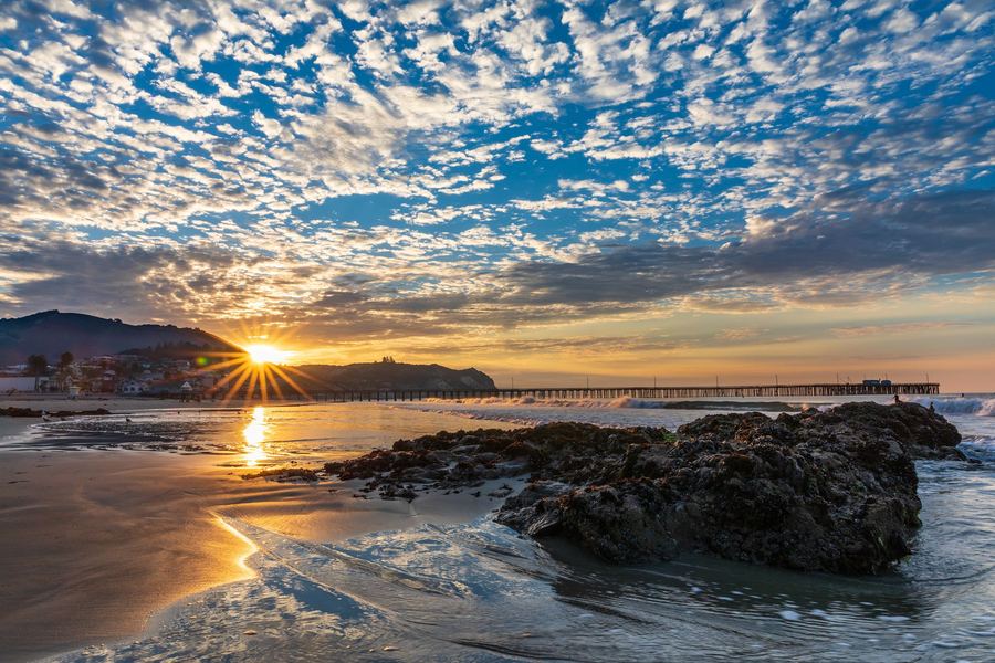
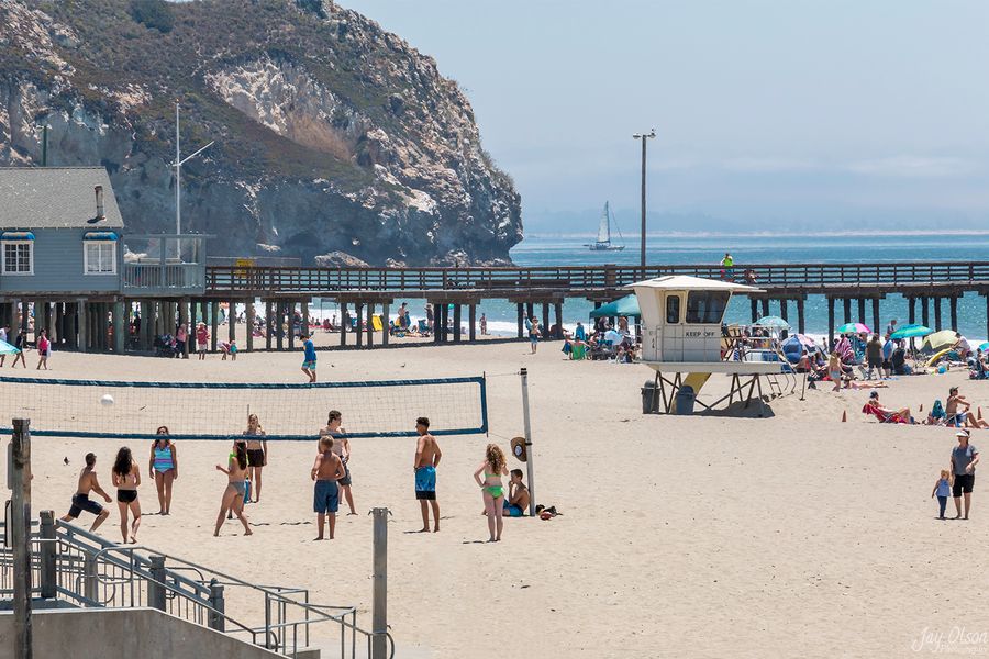
Starting in 1894, the Populist People's Party pushed for a publicly owned pier to compete with the privately owned Harford wharf. County voters approved it by a wide margin, and San Luis Obispo County built what is now the Avila Beach Pier in 1907-1908. It's 1,685 feet long and has been rebuilt after storm damage many times.
The oil era
Union Oil began shipping oil from Port Harford in 1910. In 1914, the Pacific Coast Railway built a third pier between the other two, which Union Oil leased and later bought. Cal Poly says Port San Luis was reportedly the largest crude oil shipping port in the world from 1914 to 1922. Pipelines carried crude oil, gasoline and diesel between a tank farm on the hill above town and the pier.
After the railroad closed, the port shifted to fishing, boating and tourism. County voters created the Port San Luis Harbor District in 1954. A storm in March 1983 destroyed the wooden oil pier and damaged the Avila Beach Pier so badly it needed a full rebuild. In 1984 the Harbor District took over Avila Beach and the pier and rebuilt it.
The leak, the cleanup and the rebuild
In 1989, digging under a downtown business turned up oil. Decades of leaks from Unocal's aging underground pipes had soaked the ground beneath downtown and the beach. Estimates grew over the years to about 400,000 gallons of gasoline, diesel and crude oil.
In 1998, Unocal agreed to clean it up in what was described as the largest Proposition 65 settlement in California history, including an $18 million penalty. Excavation began in late 1998. The project razed 23 downtown buildings, including homes, businesses and the beachfront block of Front Street, and displaced about 400 residents. Crews dug out about 100,000 cubic yards of soil, nearly 7,000 truckloads, and replaced it with clean sand. The waterfront was closed for about two years.
The town came back in 2000. The old seawall, built by the WPA in 1937, was replaced the same year. San Luis Obispo County adopted the Avila Beach Specific Plan in October 2000 to guide the rebuild, and the California Coastal Commission approved it in November 2001. The new Front Street got colorful clapboard buildings along a palm-lined pedestrian promenade with mosaic inlays. Mr. Rick's, the Custom House and the Avila Grocery returned in new buildings, and new inns opened in 2005 and 2006. In 2001, Unocal gave its pier to Cal Poly, which now runs it as a marine research station.
Avila today
In 2015, crowds watching humpback whales set the Avila Beach Pier swaying, and the Harbor District closed it on engineering advice. Volunteers with Friends of Avila Pier have raised money for repairs, and work began in stages in late 2022. The pier is still mostly closed for repairs, so head to Harford Pier for a walk over the water.
Want more of the story? The Point San Luis Lighthouse site covers the light station's history, and Friends of Avila Pier tells the pier's.
Local tips
- Look for the Port Harford Pier historical marker near the end of Harford Pier.
- The cornerstone of the 1937 WPA seawall now sits in a park downtown.
- Take a docent-led hike to the 1890 Point San Luis Lighthouse for the best history lesson in town.
Frequently asked questions
How did Avila Beach get its name?
From Miguel Ávila, who was granted Rancho San Miguelito, the land around San Luis Bay, in 1842.
What happened to Avila Beach in the 1990s?
Oil from decades of leaking Unocal pipelines was found under the town. Starting in late 1998, Unocal tore down much of downtown, dug out the contaminated soil and rebuilt the waterfront. The town reopened in 2000.
When was Harford Pier built?
John Harford built a wharf at the west end of San Luis Bay in the early 1870s. The historical marker there gives 1873, and the pier that stands today dates from 1919.
Why is the Avila Beach Pier closed?
The Port San Luis Harbor District closed it in 2015 on structural engineering advice. Repairs have been underway in stages since late 2022.